
Waymarking
How to find your way on the Poros trails
The Poros trails are easy to follow: a network board shows the whole network, every trail starts at a trailhead board, signposts stand at every junction and red and white paint marks the way in between. Here is what each sign means.
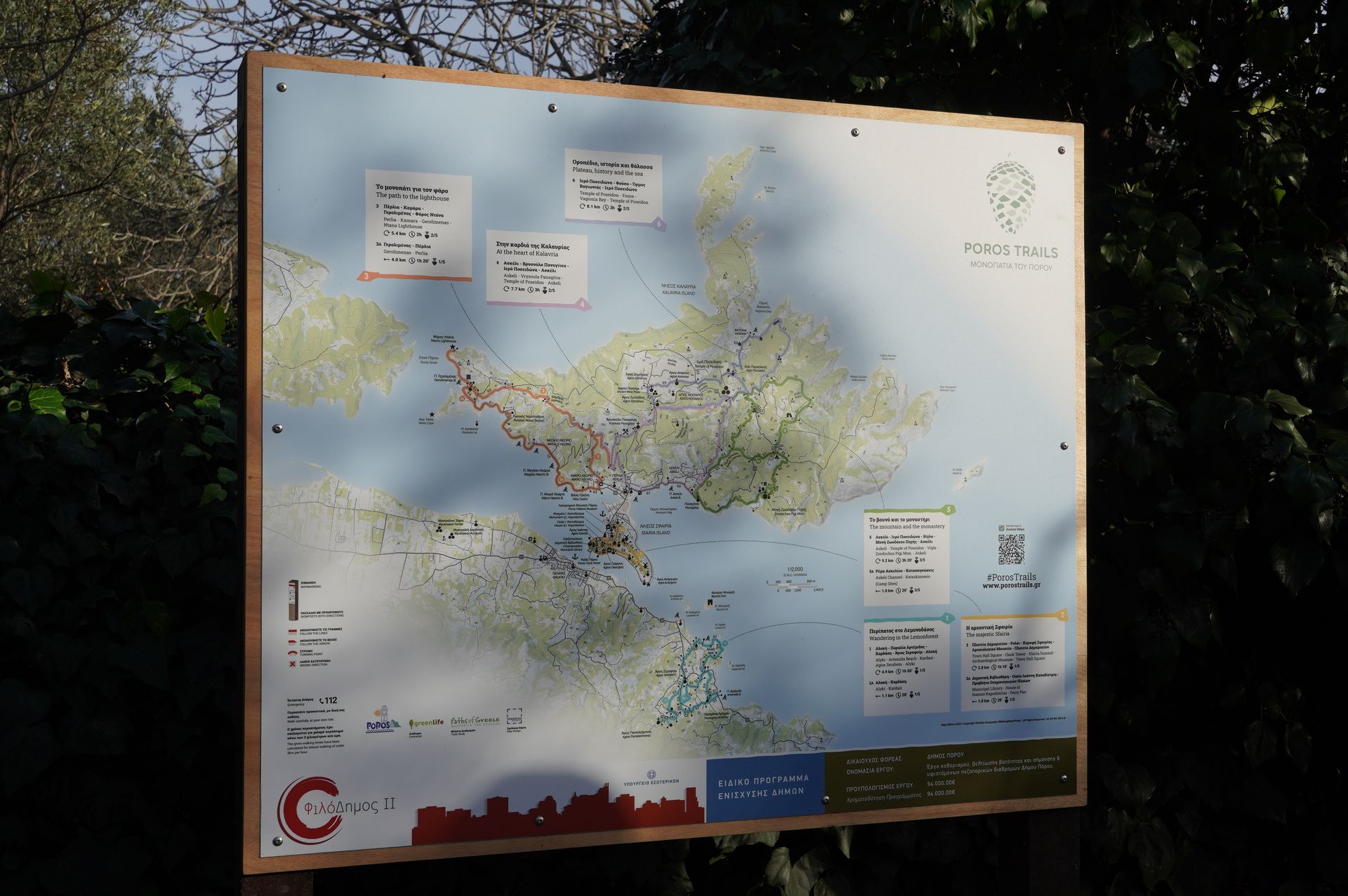
Network board
A large board with the overall map of Poros Trails shows:
- all trails on one map, each with its number and colour
- the name of every trail and the places it connects
- distance, walking time and difficulty of each trail
- a legend explaining the waymarking
- a QR code to the website and the 112 emergency number
Trailhead boards
Every trail begins at a board with its number and name, a detailed map of the route, the elevation profile, and the distance, walking time and difficulty. The cycling routes start at trailhead boards too.
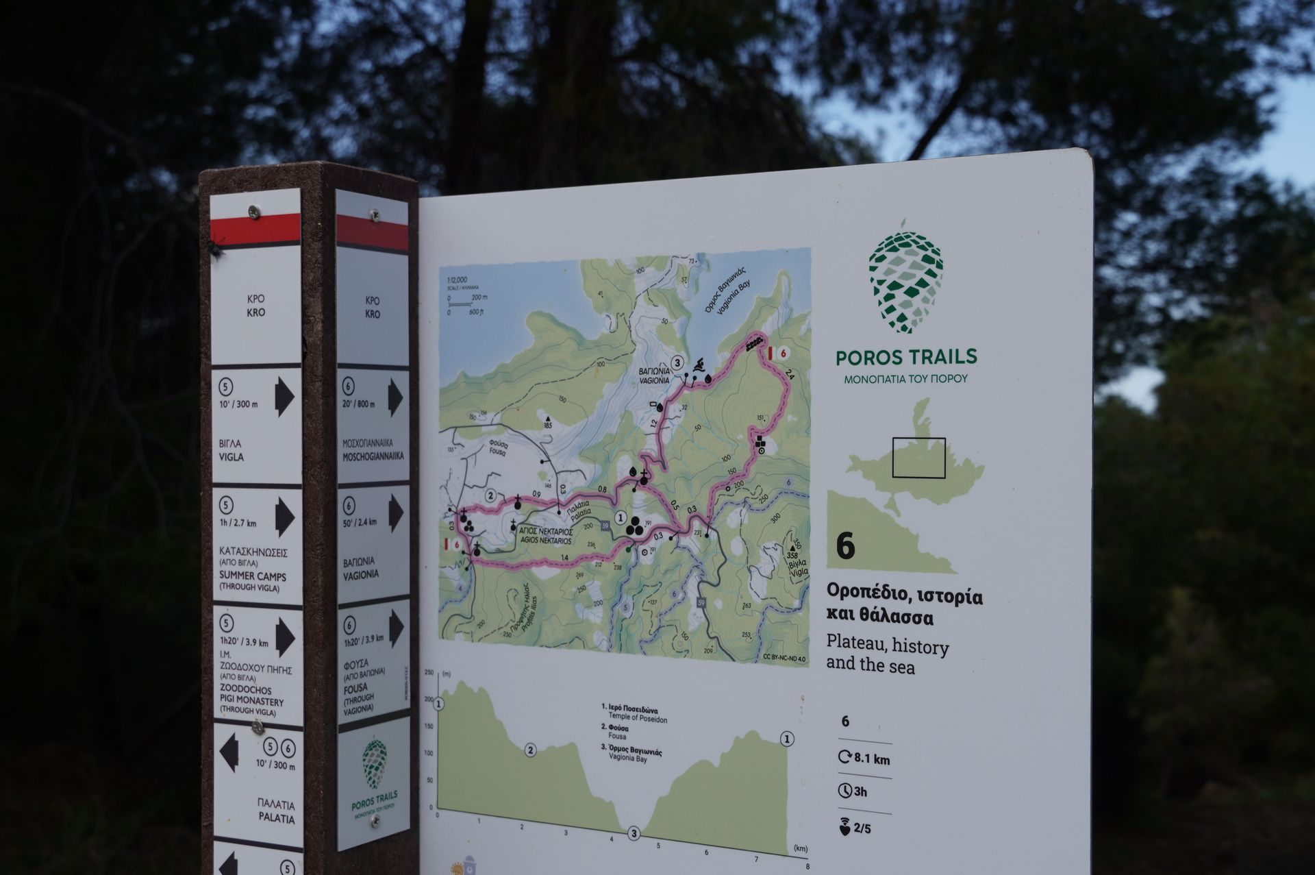
Signposts
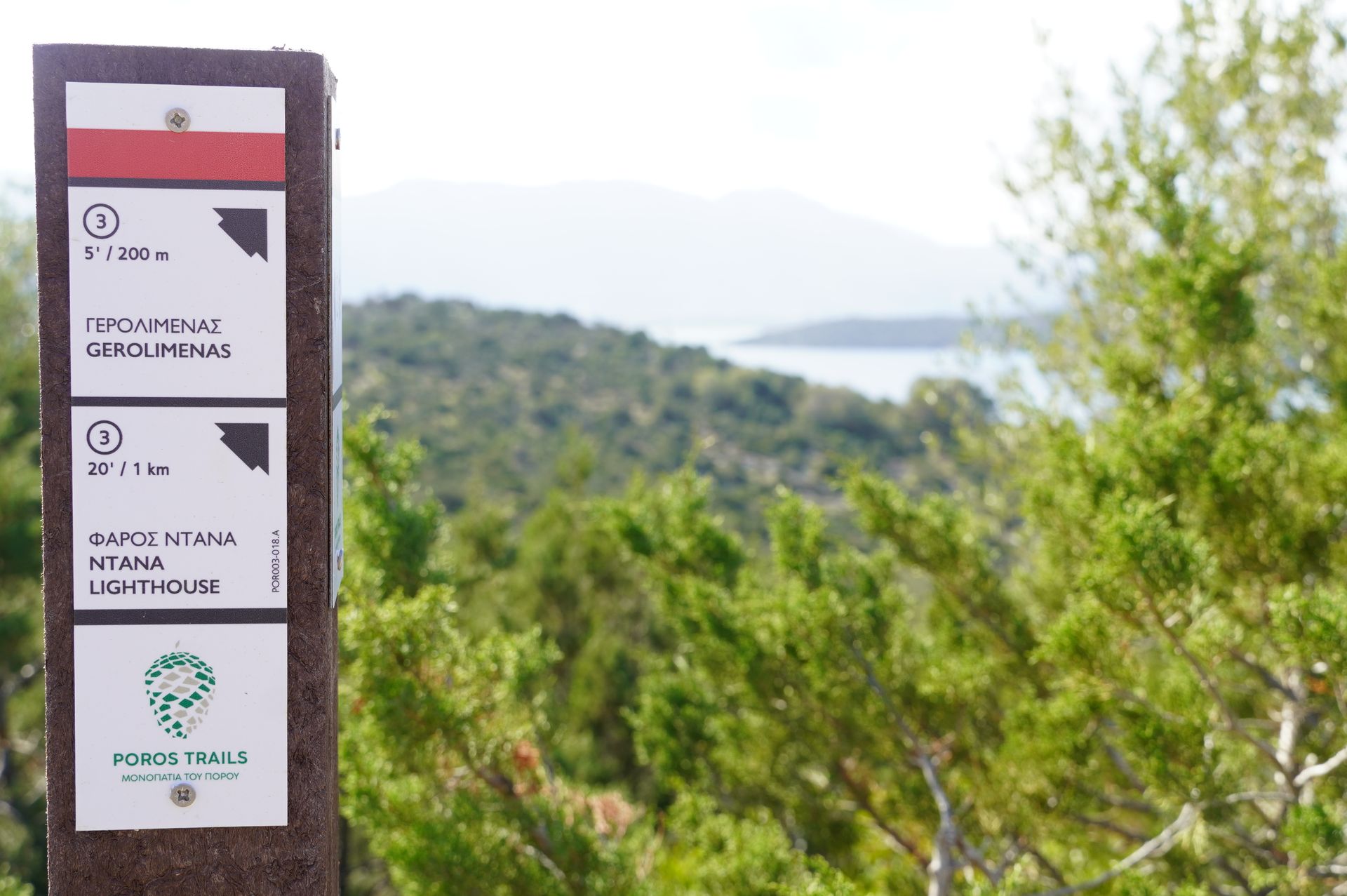
Brown posts with white plates show where each path leads. Every plate shows the trail number in a circle, the walking time and distance, an arrow, and the destination in Greek and English. The red band at the top reminds you of the waymark colours.
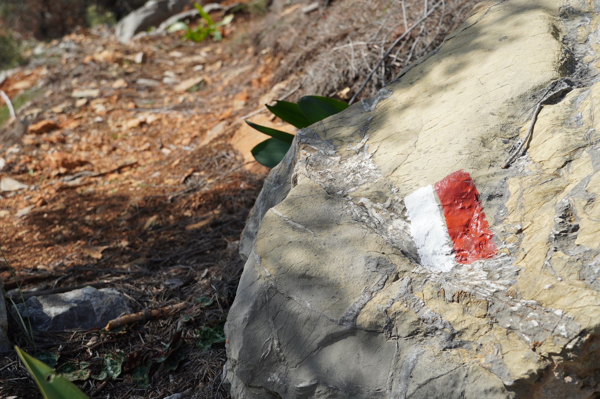
Painted waymarks
Between junctions, the trail is marked with red and white paint on rocks, walls and trees.
Walk carefully, you walk at your own risk. Carry water, wear proper shoes and avoid the hottest hours in summer. Do not walk alone.
112 Emergency